Are you interested in finding out how we can work together and make your project come to life? Please email us and let’s talk.
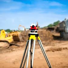
The provision of efficient, reliable and sustainable survey and geomatics.
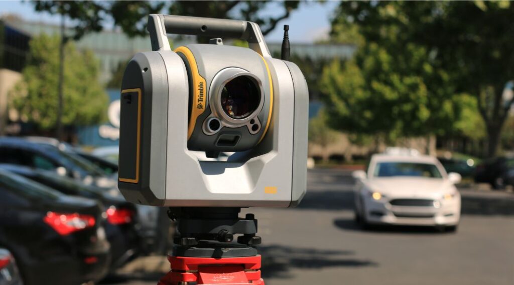
UIP Africa has a team of professionally qualified Land Surveyors who are proud to offer a broad range of survey services ranging from topographical surveys, to precision engineering surveying and 3D modelling of environments. UIP Africa also boasts a wealth of up to date precision survey equipment such as total stations, survey drones and GPS systems.